
Satellite imaging technology has changed how we see and interact with our world. These tools capture detailed images from space. They give us important insights in many areas.
They do more than just map our world. They help with urban planning and managing resources. Environmental scientists use them to track climate change and protect nature.
The remote sensing benefits are huge in emergencies. They help disaster teams with real-time images. This technology is key in saving lives during disasters.
Satellite images are used in many fields, from farming to national security. Their ability to adapt makes them essential for solving today’s problems.
What Are Some Typical Uses of Satellite Imaging Technology
Satellite technology does more than just take pictures. It gives us valuable insights for saving the environment and ensuring food security. These uses are some of the most important ways we use earth observation today.
Environmental Monitoring and Conservation Efforts
Satellite imaging lets us track big changes in the environment. Groups and governments use it to protect special places and keep biodiversity safe.
By flying over forests, satellites capture detailed images. These show us where forests are being cut down. We can then figure out how fast this is happening and where.
In places like the Amazon, this helps keep forests safe. It also helps protect the lands of indigenous people. The constant vegetation monitoring lets us quickly stop illegal activities.
Monitoring Polar Ice Caps and Glacier Movements
Satellites give us a detailed look at the polar regions and glaciers. They measure how thick the ice is, how it moves, and how fast it melts.
This information is key for understanding climate change. It helps us predict how sea levels might rise. Over time, it gives scientists important data for their research and models.
Agricultural Applications and Precision Farming
The farming world has adopted satellite technology to improve how it works. Precision agriculture uses detailed images to make farming better on a huge scale.
Crop Health Assessment and Yield Prediction
Satellites can check on plant health by looking at how much chlorophyll and water they have. Farmers get early alerts about problems like diseases or pests.
This vegetation monitoring also helps guess how much crops will yield. Farmers can plan better for storing, moving, and selling their crops.
Soil Moisture Monitoring and Irrigation Planning
Satellites with special sensors check how wet the soil is. This helps farmers water their crops just right, saving water.
In dry areas of the United States, this tech helps with sustainable farming. It stops overwatering and cuts down costs. It gives advice on when and how much to water.
These uses show how earth observation technology changes how we protect the environment and farm. As satellite tech gets better, it will help even more with saving our planet and feeding people.
Urban Development and Infrastructure Planning
Geospatial technology does more than just map cities. It gives deep insights into how cities grow and work. This tech is key to modern urban planning around the world.
Land Use Mapping and Zoning Applications
High-resolution satellite data helps classify urban areas precisely. Planners use this info to make smart zoning decisions. This balances development with environmental needs.
The data uncovers patterns not seen from the ground.
Population Density Analysis and Urban Sprawl Monitoring
Satellites track population and settlement growth accurately. Cities use this to plan for housing and services. This helps manage growth in a sustainable way.
It stops haphazard growth that strains services. Planners guide growth to keep green spaces and farmland.
Transportation Network Planning and Optimisation
Transport systems get a big boost from satellite data. Before the 2016 Olympics, Rio used high-resolution images for planning. This shows how geospatial analysis aids in urban mobility.

Current and past traffic data improve road designs. This leads to less congestion and better city flow.
Construction and Infrastructure Monitoring
The construction world uses satellites for project management. They provide clear progress records. This is very useful for big projects where watching over them is hard.
Large-scale Project Progress Tracking
Big projects like new suburbs or airports need constant monitoring. Satellites offer a cost-effective way to track progress. This helps spot delays early and adjust plans.
It also gives investors clear proof of project milestones. This builds trust in long-term infrastructure development projects.
Infrastructure Maintenance and Condition Assessment
Satellites help spot small changes in infrastructure before they become big problems. Engineers use image analysis to find wear on bridges and buildings. This approach keeps people safe and saves on repair costs.
The table below shows how satellite monitoring helps different infrastructure types:
| Infrastructure Type | Monitoring Frequency | Key Parameters Measured | Primary Benefits |
|---|---|---|---|
| Road Networks | Quarterly | Surface deterioration, congestion patterns | Optimised repair scheduling |
| Bridge Structures | Monthly | Structural deformation, material fatigue | Early failure detection |
| Rail Systems | Bi-monthly | Track alignment, ground settlement | Accident prevention |
| Building Complexes | Annual | Subsidence, roof conditions | Preventative maintenance |
This method is key to smart cities development. Cities move from fixing problems to preventing them. This saves money and keeps people safe.
Natural Resource Exploration and Management
Satellite imaging is key in finding Earth’s hidden riches and managing water. It helps in economic growth and protecting the environment. It gives us data to make better decisions about resources.
Mineral and Hydrocarbon Exploration
Satellite tech has changed mineral and oil exploration. It gives detailed data without needing to dig everywhere. Advanced sensors find minerals and radar shows where oil and gas might be.
Imaging satellites can spot minerals by their unique signs. This means finding resources more accurately. It saves money and harms the environment less.
Resource Mapping and Reserve Estimation
Satellites help map resources by analyzing terrain and creating 3D models. They mix height data with geology to guess how much is there. This helps plan for using resources wisely.
Water Resources Management
Satellites help solve water problems by monitoring and assessing water. They predict floods and find hidden water sources. This is vital in changing weather.
Watershed Monitoring and Flood Prediction
Satellites watch over watersheds by tracking rain, soil moisture, and plants. This info helps predict floods better. The European Flood Awareness System uses this to warn early, saving lives and property.
Groundwater Assessment and Aquifer Mapping
Satellites measure gravity and radar to find groundwater. This is very useful in dry areas. Regular checks prevent using too much water and help manage it well.
| Application Area | Satellite Technology Used | Primary Benefits | Data Output |
|---|---|---|---|
| Mineral Exploration | Hyperspectral Imaging | Reduced field survey costs | Mineral composition maps |
| Hydrocarbon Identification | Radar Interferometry | Subsurface structure mapping | Potential reservoir locations |
| Flood Prediction | Multispectral Scanning | Early warning systems | Watershed condition reports |
| Groundwater Assessment | Gravitational Field Measurement | Aquifer sustainability monitoring | Water storage change data |
Using satellite data in resource management is a big step forward. It helps grow the economy and protect the environment. These technologies make using resources more sustainable.
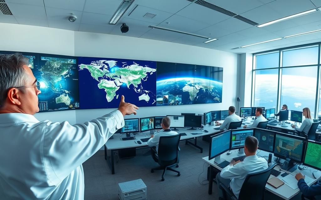
Disaster Management and Emergency Response
Satellite imaging has changed how we handle disasters. It gives us vital information before, during, and after big events. These systems help us make better plans for emergencies.

Pre-disaster Risk Assessment and Preparedness
Good disaster planning starts with checking risks with satellite data. Modern tech looks at land, plants, and water to spot dangers early.
Flood Plain Mapping and Vulnerability Analysis
Satellites are great at making detailed maps of flood areas. They watch rivers and rain to spot floods. In Germany’s floods, they even saw through clouds to show where water was.
This helps officials plan and use resources wisely.
Earthquake and Landslide Risk Assessment
Satellites can find areas at risk of earthquakes and landslides. In Rio de Janeiro, they helped find dangerous slopes before the rains.
Post-disaster Response and Recovery Monitoring
After disasters, satellite images are key for quick action. They help save lives and money by being fast and accurate.
Damage Assessment and Emergency Coordination
Change detection tech quickly shows damage by comparing old and new images. After Turkey’s earthquake, it helped teams find where to focus rescue efforts.
Now, AI helps by quickly going through lots of images to find dangers. This was very useful after the Beirut port explosion.
Recovery Progress Monitoring and Reconstruction Planning
Satellites keep track of how well areas are recovering. They show how Beirut is being rebuilt, helping make sure it’s done right.
The table below shows how satellites help in disaster management:
| Disaster Phase | Satellite Capability | Real-World Application | Impact Measurement |
|---|---|---|---|
| Pre-disaster | Risk mapping | Flood plain analysis in Germany | 80% accuracy in flood prediction |
| Immediate response | Damage assessment | Turkey earthquake response | Response time reduced by 60% |
| Recovery phase | Progress monitoring | Beirut reconstruction tracking | Monthly progress documentation |
| All phases | All-weather imaging | SAR during cloud cover | 24/7 operational capability |
Companies like Nearmap and Esri have made systems that use satellite images for emergency mapping. These tools are at the forefront of saving lives and protecting communities from disasters.
Conclusion
Satellite imaging has changed how we see and interact with our planet. It helps us monitor the environment and respond to disasters. This technology is key for many areas like farming, city planning, and emergency services.
It shows us how Earth works in detail. This is a big change in how we observe our planet.
The benefits of satellite imaging are huge. It helps governments and groups make better decisions. They use it for building, saving nature, and handling emergencies.
This tech gives us new insights. It helps us move forward in many fields.
The future of satellite imaging looks bright. It will work better with AI and machine learning. This will make analysis faster and more accurate.
We’ll be able to watch Earth in real-time. This will help us tackle big global problems. The tech will keep getting better, helping us understand and protect our planet.
